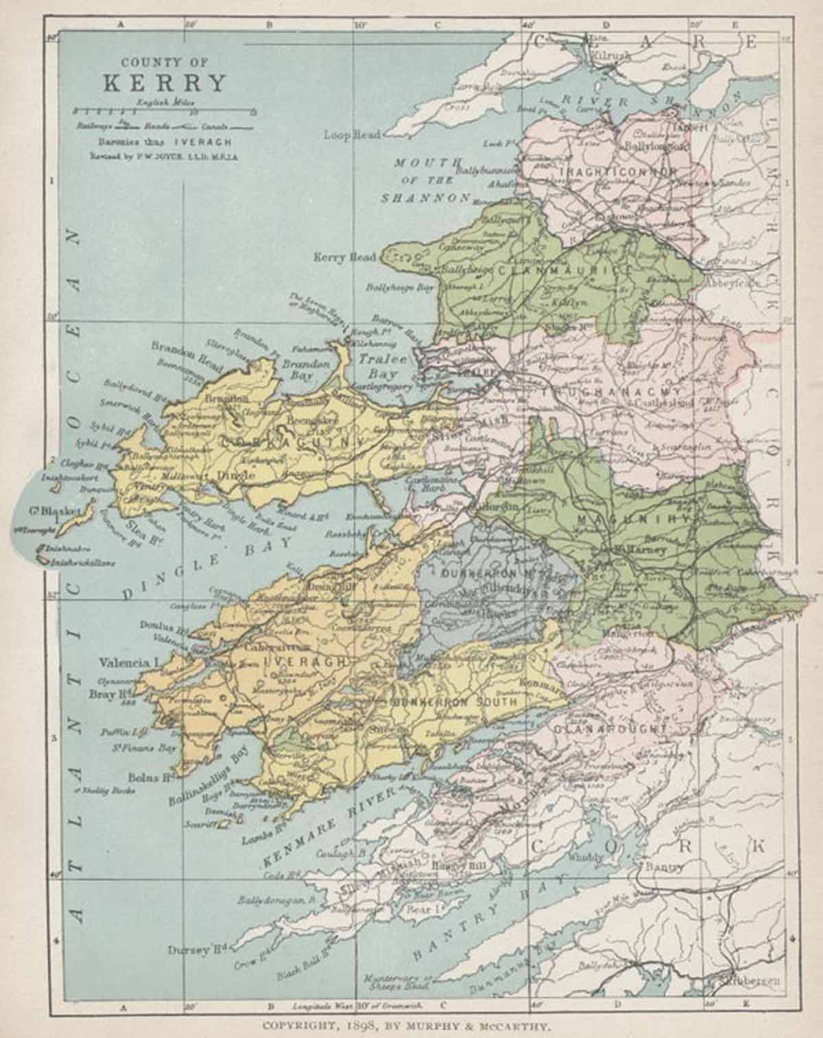
MAP OF COUNTY KERRY
From Atlas and Cyclopedia of Ireland (1900)
« County Galway | Book Contents | County Kildare »
Description of County Kerry | O'Connell Chapel, Cahirciveen | Muckross Abbey | Brickeen Bridge, Killarney | Glena Cottage, Killarney | Derrycunnihy Cottage, Killarney | Kenmare Convent | Kerry Map
For a fully magnifiable version of the County Kerry map in PDF format click here. Please note that PDF documents require a reader such as Adobe Acrobat which can be downloaded here.
Description of County Kerry | O'Connell Chapel, Cahirciveen | Muckross Abbey | Brickeen Bridge, Killarney | Glena Cottage, Killarney | Derrycunnihy Cottage, Killarney | Kenmare Convent | Kerry Map