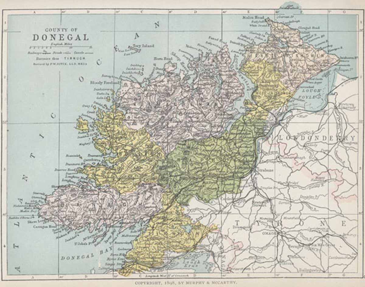
MAP OF COUNTY DONEGAL
From Atlas and Cyclopedia of Ireland (1900)
« County Cork | Book Contents | County Down »
Description of County Donegal | Donegal Castle | Derrybeg Chapel | Moville | Bundoran | Ballyshannon Bridge | Donegal Map
For a fully magnifiable version of the County Donegal map in PDF format click here. Please note that PDF documents require a reader such as Adobe Acrobat which can be downloaded here.
Description of County Donegal | Donegal Castle | Derrybeg Chapel | Moville | Bundoran | Ballyshannon Bridge | Donegal Map